Home
最新情報
- お知らせ
- イベント
- 総会・大会
- 声明・要望書
- ブログ
- カフェde考古学
-
2026年01月15日お知らせカフェde考古学2025第6回申込開始しました(締切2月11日(水)15時)
-
2026年01月09日お知らせ埋文委ニュース第87号を掲載しました
-
2025年12月22日お知らせ会告 一般社団法人日本考古学協会第92回(2026年度)総会へのご案内
-
2025年12月22日お知らせ2025年度 アジア考古学合同講演会開催のお知らせ
-
2025年12月22日お知らせ【正会員の皆様へ】理事選挙告示
-
2025年12月15日お知らせ「アイヌヘイトに対する3学協会共同会長声明」の発出について
-
2025年12月15日お知らせ「アイヌ遺骨・副葬品に関する日本考古学協会会長声明」の発出について
-
2025年11月27日お知らせ会費の納入につきまして(お願い)
-
2025年12月18日イベント2026年2月4日【シンポジウム】文化財DXと発掘調査のイノベーション
-
2025年12月18日イベント2026年2月21日【国際共同ワークショップ】実験考古学の最前線 モノと動作解析のパースペクティブ
-
2025年12月08日イベント2025年12月13・14日【大会】東南アジア考古学会2025年度研究大会上智大学
-
2025年12月08日イベント2026年1月10日【国際学術研究会】交響する古代XVI明治大学
-
2025年11月28日イベント2026年1月18日【学術講演会】「ヤマト王権と佐紀古墳群」明治大学
-
2025年11月18日イベント2025年11月30日【シンポジウム】第3回歴史シンポジウム水無瀬離宮を考える 水無瀬と文学〜その一
-
2025年11月07日イベント2025年12月6・7日【大会】第28回東北・関東前方後円墳研究会大会
-
2025年11月05日イベント2025年10月4日~12月7日【企画展】登呂博物館秋季企画展「大昔へのまなざし~大昔の生活をどうイメージしてきたか~」
-
2025年12月22日総会・大会会告 一般社団法人日本考古学協会第92回(2026年度)総会へのご案内
-
2025年12月19日総会・大会2025年度新潟大会報告
-
2025年08月22日総会・大会日本考古学協会2025年度大会へのご案内実行委員会編集の大会資料集の取扱いについて掲載しました。(2025.11.7)
-
2025年08月21日総会・大会第92回(2026年度)総会「研究発表」の募集について
-
2025年04月17日総会・大会第91回総会研究発表プログラム
-
2025年04月03日総会・大会日本考古学協会第91回(2025年度)総会議題
-
2025年03月18日総会・大会日本考古学協会第91回(2025年度)総会開催のご案内申込フォームを掲載しました ※申込受付は終了しました
-
2024年12月20日総会・大会2024年度島根大会報告
-
2025年12月15日声明「アイヌヘイトに対する3学協会共同会長声明」の発出について
-
2025年12月15日声明アイヌ遺骨・副葬品に関する日本考古学協会会長声明
-
2025年12月03日回答鴨川市メガソーラー建設用地内の文化財保存に関する要望書について(回答)
-
2025年10月21日要望書鴨川市メガソーラー建設用地内の文化財保存に関する意見および要望
-
2025年10月17日回答広島県安芸郡府中町下岡田遺跡の保存・活用に関する要望書に係る回答について(回答)
-
2025年09月26日要望書広島県安芸郡府中町下岡田遺跡の保存・活用に関する要望書
-
2025年07月11日回答鴨川市メガソーラー建設用地内の文化財保存に関する要望書について(回答)
-
2025年07月02日回答京都府八幡市橋本陣屋跡の保存に関する要望書に対する回答について
-
2024年02月16日ブログ能登半島地震による文化財被害の情報が「石川考古学研究会のブログ」で報告されています
-
2024年01月26日ブログ令和6年(2024年)能登半島地震に関する情報(2024年1月10日付の便り)
-
2021年03月12日熊本地震『平成28年熊本地震対策特別委員会報告書』の刊行について
-
2019年09月18日ブログ2019年9月の台風15号による文化財被害(速報)
-
2019年07月25日ブログ2019総会ポスター「熊本地震被災古墳に学ぶ」、および明日「第1回 古墳の復旧および維持管理に関する会議」が開催されます
-
2019年06月21日ブログ2019年6月18日に発生した山形県沖の地震に関する情報ー文化財被害など
-
2019年05月27日ブログ『2016年熊本地震 日本イコモス報告書 文化財の被害状況と復旧・復興への提言』 『平成28(2016)年鳥取県中部地震による石造文化財の被害調査』
-
2019年03月28日ブログ2019年1月3日の地震で被災した江田船山古墳の石棺、ようやく玄室を直接のぞけるようになった井寺古墳
入会案内
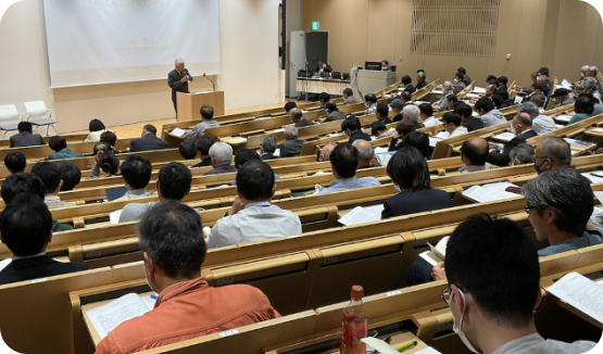
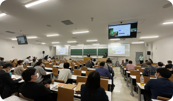
一般社団法人日本考古学協会は、自主・民主・平等・互恵・公開の原則にたち、考古学研究者としての社会的責任の遂行と、考古学の発展を目的として、1948年に結成された全国組織です。春の総会および秋の大会、研究発表会、シンポジウムや講演会の開催、機関誌『日本考古学』の発行、埋蔵文化財の保護、関連学術団体との連携・協力、国際交流などを推進しています。入会申込みは毎年秋に締切られ、業績の審査を経て、春の総会で承認されます。
正会員の入会申込みは、常時受付けております。協会の目的に賛同し、研究者として自覚をもち、協会が定める入会資格基準を満たす者は入会することができます。また、賛助会員には、法人会員・フレンドシップ会員・学生会員があります。入会希望者にお心あたりの方がありましたら、ご連絡下さるようお願いします。
活動内容
活動を通じて、考古学の発展に貢献しています。私たちは、考古学の研究を推進し、過去の文明や歴史を解明することで、未来の知識を豊かにすることを目指しています。
埋蔵文化財保護対策委員会
機関誌『日本考古学』 編集委員会
国際交流委員会

研究環境検討委員会

社会科・歴史教科書等検討委員会

広報委員会

災害対応委員会

刊行物

研究倫理

学生の皆様へ

企画活動

陵墓

特別委員会
日本考古学協会について
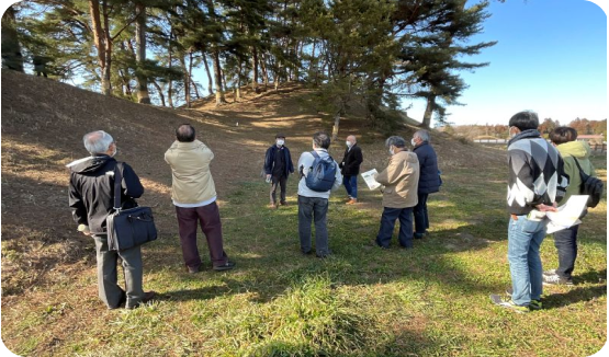
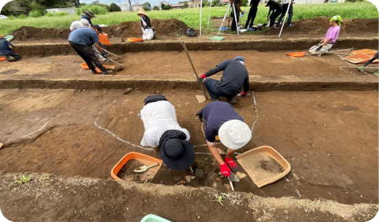
一般社団法人日本考古学協会は、自主・民主・平等・互恵・公開の原則にたち、考古学研究者としての社会的責任の遂行と、考古学の発展を目的として、1948年に結成された全国組織です。春の総会および秋の大会、研究発表会、シンポジウムや講演会の開催、機関誌『日本考古学』の発行、埋蔵文化財の保護、関連学術団体との連携・協力、国際交流などを推進しています。
活動紹介
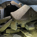
災害と考古学
災害と考古学についてのブログです。最近の投稿から過去の投稿まで閲覧ができます。<写真>熊本市石之室古墳の石棺 2016年7月17日撮影、災害対応委員会提供

カフェ de 考古学
「カフェ de 考古学」は、市民のみなさんと考古学の研究者が、カフェでコーヒーを飲みながらおしゃべりするような雰囲気で考古学のさまざまな話題について気軽に語り合う場です。
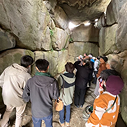
賛助会員
本学会の設立目的に賛同し、考古学研究の成果や課題を伝える総・大会等の様々な事業に参加し、協会の活動を継続的に援助頂ける方を対象として賛助会員の制度をはじめました。

受付図書
受け入れをした受付図書の紹介、寄贈いただく書籍の送付先をご紹介しております。
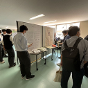
高校生ポスターセッション
将来の日本の考古学を担う若手研究者の育成を目的として、毎年5月の総会時の研究発表会に合わせて、2016年から高校生ポスターセッションを実施しています。
